- Distance of tour : 104 km
- Hardness of tour : Közepes
- Levels : +3265 m,-3208 m
- Average slope: 4.7 %
Before you start...
Cycling in the forest is regulated by the law, and these rules can
change. Before you go on your hiking or riding tour, please check current forest law and start riding only if it is permitted.
- Distance of tour : 104 km
- Hardness of tour : Közepes
- Levels : +3265 m,-3208 m
- Average slope: 4.7 %
The bicycle tour starts at Sátoraljaújhely train station. We cycle on Árpád Street, then we turn to the main road (Kossuth Road), where the blue cross sign goes. We leave the city via István Fejes Road and Május 1 Road.
After Sátor-hegyelhagyása we reach the blue mark and then by following the sign we arrive at Makkoshotyka.Leaving the settlement, we continue following the blue sign until we reach the Zsidó-rét (rét means meadow), and then we arrive at Újhuta, as we changed to the blue square sign. Continuing on the same sign, we continue in the Szlapanyica-völgy (völgy means valley) until the Szlapanyica rét, where we continue to cycle again on the blue sign.
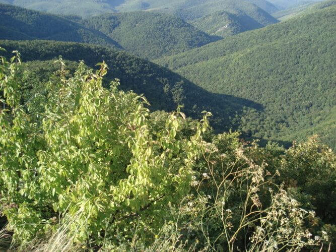
A few kilometres away to the right we find a blue triangle sign. Continuing the tour on it we reach the Nagy Péter mennykő (709 meters), which offers a beautiful view of the Zemplén. Returning to the blue sing we follow it, until we see on the right the sign of the blue cross, which we continue to follow. At the foot of Solymos-hegy, we take the yellow and then the yellow square sign and follow the old railroad track to Kőkapu.
After Kőkapu, we cycle following the green sign until we reach a Y intersection. Here the sign turns right, but we are heading towards Kishuta, keeping to the left. From here we go again following the blue sign to Bózsva.
We leave the village on a public road and we cycle through Nyíri and Füzérkomlós to Füzér. Here we start to follow the blue cross sign on the outskirts of the village, and we go up to the Füzér Castle.
From the castle we descend down following the red sign and we join the blue sign, afterwards following it we cycle up on Nagy-Milic (893 meters). From here, we descend down following the blue sign to László tanya (László farm), where the blue sign continues on the asphalt, then it branches to the left. We stay on the asphalt road and we continue towards Hollóháza.
We leave the village following the red sign and we go to Telekibánya. From here we arrive at Gönc following the red, and then the red square sign. From here, we continue on the public road to Hidasnémeti, where the tour ends at the train station.
Ajánlott kiadványok
 Turistatérképek |
 Túrakalauzok |
Támogasd a működésünket
Ha tetszett a cikk, kérlek támogasd a munkánkat önkéntes adománnyal a Revolutos számlánkra bankkártyás fizetéssel. Ezáltal még több hasonló cikket fogunk tudni készíteni a szórakoztatásodra.
Hogyan működik az adományozás?
Köszönjük!
